Temperatures set to drop and snow weather warning in place for Tuesday
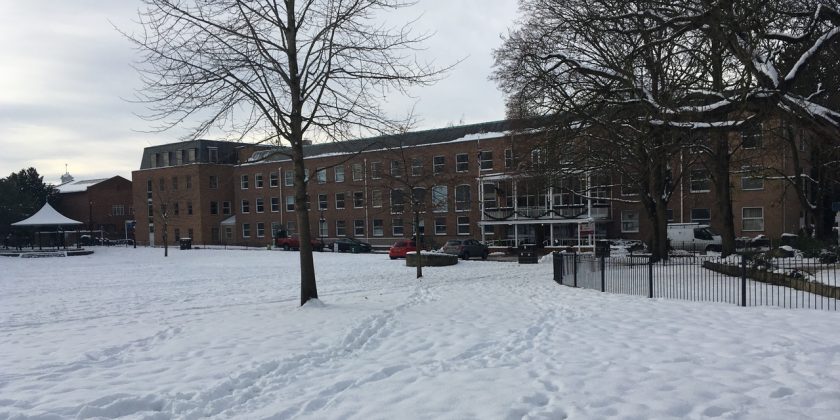
Wintery conditions look set to hit the Wrexham area over the next few days, with a yellow weather warning in place for snow.
The sunshine may have made its long-awaited return over the past few days, however any hopes of an early spring look to be temporarily dashed for the next few days.
A yellow weather warning for Wrexham and large parts of the UK has been issued by the Met Office, with conditions expected to turn wintery 12:05am on Tuesday 27th February until 11:55pm that same day,
The Met Office forecast states that “snow showers or longer periods of snow are expected on Tuesday, accompanied by very low temperatures”. There are also warnings of potential travel delays.
Temperatures are also set to plummet with highs of just 2C for the early part of the week and dropping to minus figures overnight / early in the morning.
The Met Office’s Chief Forecaster adds: “Further snow showers are expected through Tuesday, with the potential for a more organised area of snow to push southwest across parts of England and Wales.
“Separate Amber warnings are being issued to cover those areas which currently look most likely to see impacts.
“There is the potential for 5-10 cm of snow in places though nearby locations may see only small accumulations of 0-2 cm. The warning area has been adjusted to take into account latest indications.
“Strong winds may lead to drifting of lying snow (and severe wind chill) especially over hills, with lightning perhaps an additional hazard near North Sea coasts.”
The coldest days of the week look set to be Tuesday and Wednesday, with current forecast showing that temperatures will drop to -4C and -5C overnight.
Forecasts also show there will be heavy snow on Friday 2nd March, however no weather warning is in place for the end of the week at the time of writing.
Spotted something? Got a story? Email [email protected]