Weather warning issued for Wrexham with snow and ice forecast
The first snow-related weather warning of the new year has been issued today, with the Met Office forecasting that wintery showers and ice could be on the way.
A yellow weather warning covering Wrexham, large parts of Wales and northern England has been issued – meaning that snow showers are likely.
The weather warning is in place from 4am on Tuesday 16th January until 11am on Wednesday 17th January.
Details released today by the Met Office, state: “Showers will turn to sleet, snow and hail late on Monday night across northern England, and then affect parts of Wales and the Midlands Tuesday evening and overnight into Wednesday.
“Delays to travel are possible, with a lower likelihood of cancellations of public transport.
“Some roads and pavements will turn icy, with an increased likelihood of some accidents and injuries.”
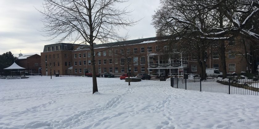
The largest snowfall Wrexham had experienced in several years hit the area in December 2017, resulting in over 50 school closures across the county borough. Some higher ground parts of Wrexham also saw over nine inches of snowfall in a short space of time.
A second weather warning is also in place for Wednesday evening through until the morning of Thursday 18th January, with strong winds set to affect large parts of the UK.
The Met Office states: “The strongest winds are expected to transfer eastwards across the warning area before clearing by early afternoon. Road, rail and ferry services may be affected, with longer journey times and cancellations.
“There is also a possibility that some bridges may close. Power cuts may occur, with the potential to affect other services, such as mobile phone coverage.
“Injuries and danger to life from flying debris are possible, along with some damage to buildings.”
Spotted something? Got a story? Email [email protected]