Snow and ice weather warning issued for Wrexham….. Again!
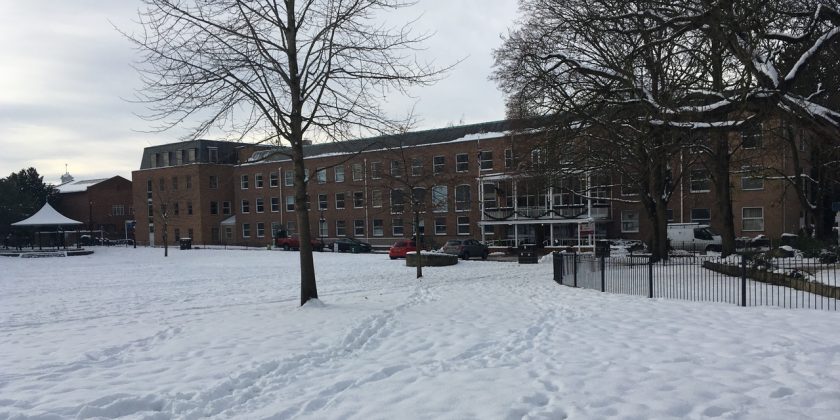
There could be more snow on the way for Wrexham with a yellow weather warning in place.
The snow is forecast for many parts of the UK between 6am and 6pm on Sunday 21st January, however though forecasters say it will mainly affect those on higher ground if it hits the area.
At lower levels is it forecast there could be snowfall of 1-3cm.
Temperatures are also set to drop, with highs of just 2C during most of the day – although it is set to get slightly milder in the evening
The Met Office says: “An area of snow is likely to move eastwards across many central and northern parts of the UK on Sunday. The snow is more likely to affect higher routes with lower levels only affected more locally.
“In addition, rain may fall onto frozen surfaces for a time, particularly across Scotland, following a very cold night. Some roads and railways likely to be affected, with longer journey times by road, bus and train services.
“Some injuries from slips and falls on icy surfaces. Probably some icy patches on some untreated roads, pavements and cycle paths. The snow is expected to become confined to northeast Scotland later in the day as it progressively turns to rain from the southwest.
“This warning area has been extended to cover much of the Midlands and parts of eastern England and some northern parts of Wales.”
Spotted something? Got a story? Email [email protected]