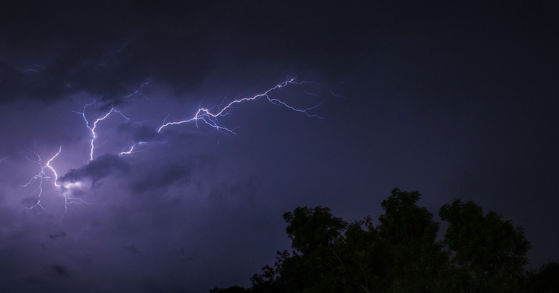
Thunderstorms forecast early next week as yellow weather warning issued
and heavy rain could be on the way with a yellow weather warning in place for the start of next week.
Although temperatures set to heat up over the next few days over the next few days, the Met Office are forecasting that some parts of the UK could see “severe thunderstorms”.
The UK wide weather warning is currently in place across Monday and Tuesday.
A spokesperson for the Met Office said: “Areas of thunderstorms are increasingly likely to develop over the south of the UK or nearby continent late in the weekend or early next week, and will generally track north or north-westwards, potentially affecting all parts of the UK at some points during this period.
“Whilst the most intense thunderstorms, in some instances associated with large hail, will most probably be those triggered by the high temperatures of the day over England and Wales, other areas of storms producing heavy rainfall and frequent lightning could reach further north at times over Scotland and Northern Ireland.
“These could occur at any time of the day. Of the area highlighted, at present the west of Northern Ireland and west of Scotland seem less likely to be affected than other areas, but still could not be ruled out.
“Where the storms occur, rainfall totals of 30-40 mm could fall in an hour, with some locations potentially receiving 60-80 mm in 3 hours, although these will be fairly isolated.
Spotted something? Got a story? Email [email protected]